| 24-25 | 26 | Aug 27 - Sep 4 | 5 | 6 | 7-8 | 9 | 10 | 11 | 12 | 13 | 14 | 15 | All Photos |
 |
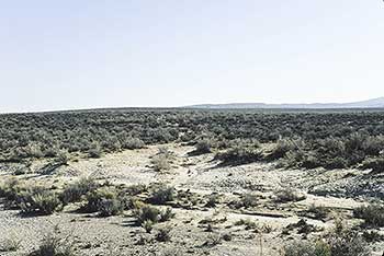
| This is a trail going south in the center of this photo which might have been pioneered by the Bidwell Party. |
September 9, 1841
Continue southwest to MILEPOST 37 (17.8 miles). You will see an emigrant road which crosses the highway from northeast to southwest. The Bidwell-Bartleson party is believed to have pioneered this road.
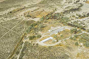
Continue southwest to ROSEBUD SPRINGS (4.2 miles) to an unmarked gravel road on the right. Turn right onto the gravel road and travel west 1.3 miles, then travel right at a fork 1.0 miles to a locked metal gate. The buildings behind this gate comprise a Bureau of Land Management camp. This is the 9 SEPTEMBER CAMPSITE. John Bidwell wrote:
"The part of the Company that remained yesterday, went on and overtook the 2 wagons. Capt. Bartleson & Hopper returned, bringing Intelligence that they had found the head of Mary's river-distant about 5 days travel, distance traveled to day about 12 miles S. W. direction. The Indians stole a horse-day cool." Return to SR 30. The rail marker reads:
First Overland Emigrant Party
"The part of the Company that remained yesterday went on and overtook the 2 wagons. Capt. Bartleson & Hopper returned, bringing intelligence that they had found the head of Mary's river - distant about 5 days' travel..."
John Bidwell, September 9, 1841
2000 Utah Crossroads Chapter - OCTA BBU-11
September 7-8, 1841  |
 September 10, 1841 September 10, 1841 |
|---|

