| 24-25 | 26 | Aug 27 - Sep 4 | 5 | 6 | 7-8 | 9 | 10 | 11 | 12 | 13 | 14 | 15 | All Photos |
August 26, 1841
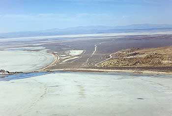
Continue west on the gravel road to MONUMENT POINT (4.7 miles), where Great Salt Lake, the railroad grade, and the Bidwell-Bartleson Trail meet. The rail post marker here at the point reads:
"We now skirted the north end of the lake, sometimes traveling in a valley and again along the shore of the lake when the mountains jutted down nearer to its shores."
Nicholas "Cheyenne" Dawson, Narrative, August 26, 1841
2000 Utah Crossroads Chapter - OCTA BBU-7
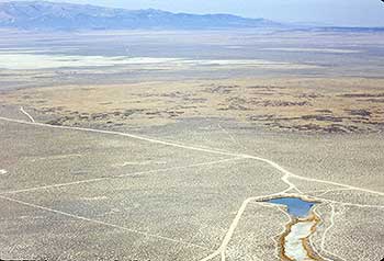
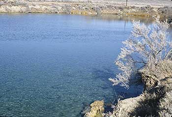
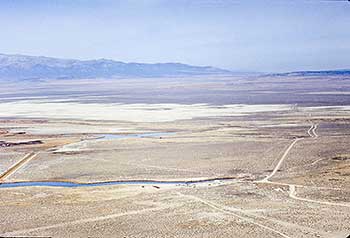
Continue northwest to the "Locomotive Springs" SIGN (4.2 miles). Turn south 1.5 miles is the Locomotive Springs State Waterfowl Management Area. The Bidwell-Bartleson party missed these springs, forcing them to travel a long distance and establish a camp without water to the northwest. Locomotive Springs is southeast of Kelton. The springs pour out their waters from the center of a large flat, creating thousands of acres of marsh land, wild hay fields, and sloughs. Thousands of brant, snipe, and ducks frequent the marshes, which are protected as a migratory bird refuge.
Continue west at the Locomotive Springs sign. As you travel west, the road switches to the old Central Pacific Railroad grade. Travel along this grade to the old town site of KELTON (10.3 miles). There are several Bureau of Land Management interpretive signs placed next to the railroad grade that outline the area's railroad history.
Kelton was established as a railroad town. Water was piped in square, hollowed-out-timber pipes from a spring to the northwest and used for the steam locomotives. Originally on the Central Pacific Railroad as a stage and freighting station, Kelton served as a major junction for stage and freight lines from Idaho and Oregon. After the Lucin Cutoff was built across Great Salt Lake, the town of Kelton died. The cemetery and old Central Pacific roadbed are all that remain today.
Turn right and travel north from Kelton to the JUNCTION (8.5 miles) with paved SR 30. Turn right onto SR 30 and travel to MILEPOST 66 (1.1 miles), at the junction with an unmarked gravel road on the left. East of this point 2.5 miles is the 26 AUGUST CAMPSITE. John Bidwell described this campsite:
"Traveled all day over dry, barren plains, producing nothing but sage, or rather it ought to be called, wormwood, and which I believe will grow without water or soil. Two men were sent ahead in search of water, but returned a little while before dark unsuccessful. Our course intersected an Indian trail, which we followed directly north towards the mountains, knowing that in these dry countries, the Indian trails always lead to the nearest water. Having traveled till about 10 o'clock P.M. made a halt, and waited till morning distance about 30 miles."
August 24-25, 1841  |
 August 27-September 5, 1841 August 27-September 5, 1841 |
|---|


